
The numbers, straight
How many km it has
The full answer, with the distance of every possible combination, is in all the distances; the fitness each one demands, in the real difficulty.
From Entrago (km 0) to Tuñón (km 22)
We count the kilometres the way the valley signage does, from Entrago (km 0) to Tuñón (km 22). All the sections share a compacted-gravel surface, an average gradient of 1.5% and the tunnels of the old mining railway — more than 30 of them, the biggest from 150 to 300 metres long, lit with solar lamps.
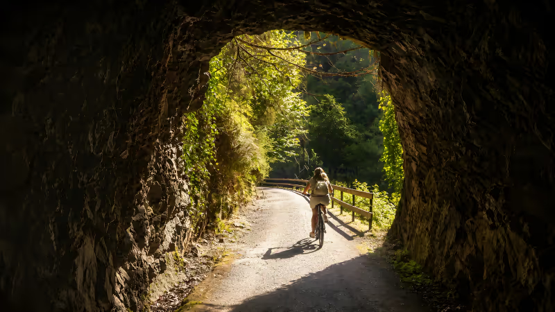
The showpiece section. It leaves the big Entrago car park (~60 spaces), passes within a kilometre of the Prehistory Park of Teverga and strings together the long railway tunnels with the Valdecerezales gorge, where sheer walls close in on the trail from both sides.
Low difficulty, gently downhill towards Caranga. If you can only do one full section, make it this one: it is also the heart of our most beautiful section.
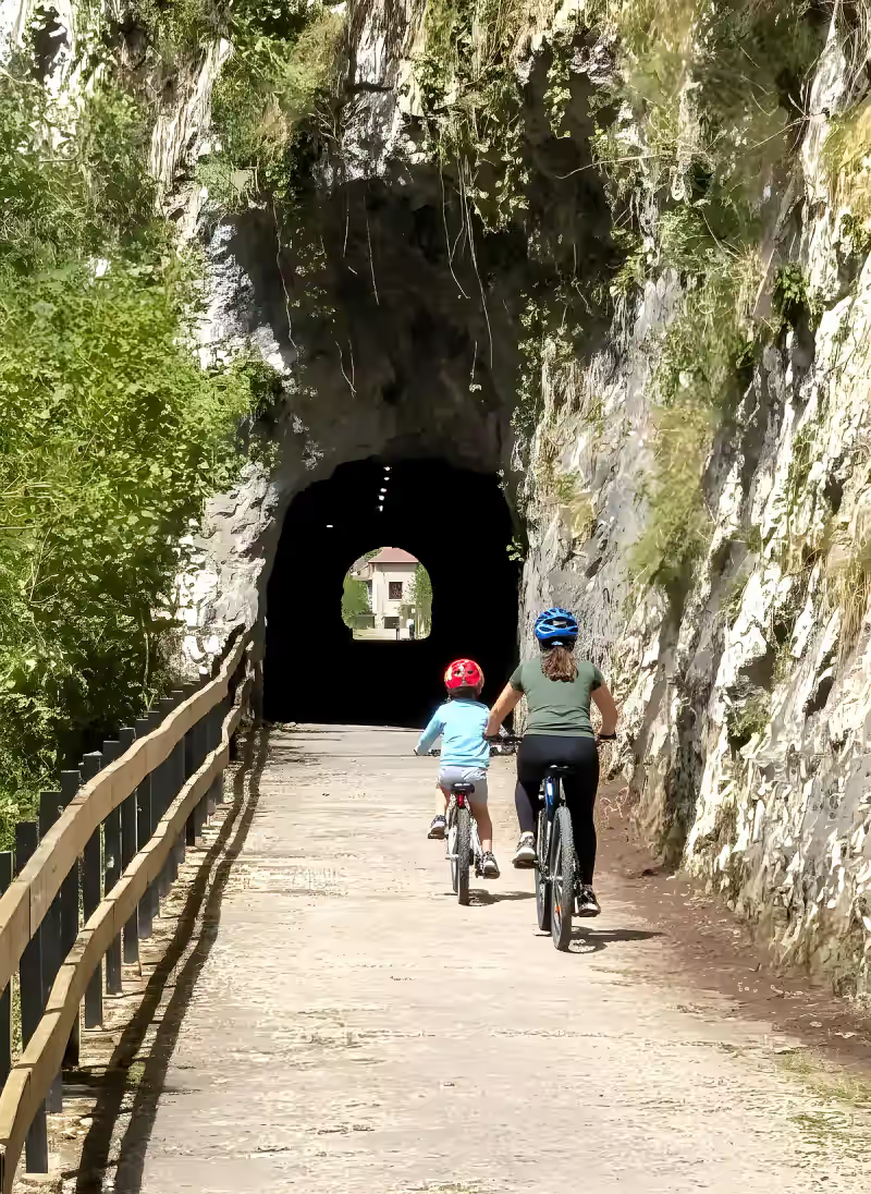
The first stretch to open as a greenway, in May 1995, and the natural way in coming from Oviedo. In 10 km it gathers the Peñas Juntas gorge (km 12-13), the old iron railway bridges over the Trubia, the Buyera recreation area and Molina the bear’s enclosure (km 19).
Genuinely flat: trailers and pushchairs manage with ease. Full guide in the Tuñón–Proaza section. The Teverga side is covered in Entrago–Caranga.
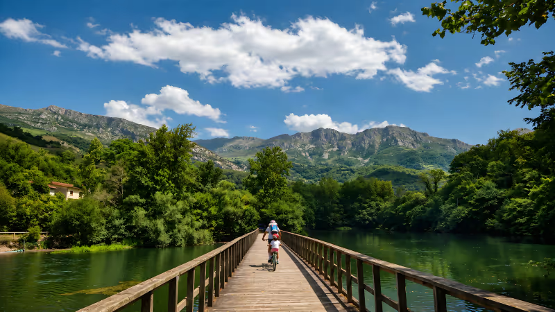
The quiet arm of the Y, opened in 1999 on the old Quirós mining branch. It climbs — the only stretch with a noticeable gradient — up to the Valdemurio reservoir and its wooden walkway, then continues towards Santa Marina with a fraction of the crowds of the main route.
On a regular bike you feel the climb; on an e-bike, it disappears. The valley and its villages are covered in the Quirós guide, and its times in how long it takes.
The numbers, straight
The full answer, with the distance of every possible combination, is in all the distances; the fitness each one demands, in the real difficulty.
Common questions
From Entrago to Tuñón it is 22 km, almost flat with 200 metres of total elevation change. It is the ride most people do, by bike and gently downhill if you start in Entrago.
The three sections of the Y add up to about 30 km. Anyone quoting 60 is counting the out-and-back of every branch.
By bike, the classic Entrago–Buyera plan (18 km) takes 2-3 hours with stops. On foot, the full route is 5-6 hours; the shorter sections, anywhere from 20 minutes to 3 hours.
Yes, and that is what most people do: there are access points with free parking in Entrago (~60 spaces), Tuñón (~40) and Proaza (~20), so you can join and leave the trail wherever you like.
The guides in this section
10.5 flat kilometres with Molina the bear’s enclosure at the halfway point. The best section for first-timers.
The longest tunnels on the trail and the gentle descent of the Teverga valley, the biggest close to 300 m.
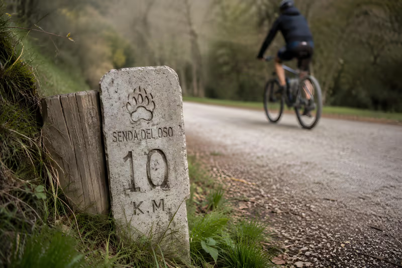
21-22 km for the main route, about 30 for the full network. The real distances, pinned down one by one.
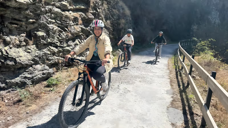
Real times by bike and on foot, section by section, and what stretches or shortens the clock.
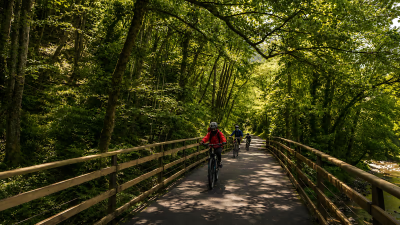
An average gradient of 1.5%, compacted gravel and no cars: the real level of each section for your fitness.
Plan your route
A Y-shaped layout, free car parks at all three access points and a section for every plan. Pick your distance, check the real times and hit the trail with the plan settled.
 Ruta del OsoSenda del Oso greenway22 km of car-free pathMore than 30 tunnelsMolina the bearTeverga · Proaza · Santo Adriano · QuirósAsturias, Spain Ruta del OsoSenda del Oso greenway22 km of car-free pathMore than 30 tunnelsMolina the bearTeverga · Proaza · Santo Adriano · QuirósAsturias, Spain Ruta del OsoSenda del Oso greenway22 km of car-free pathMore than 30 tunnelsMolina the bearTeverga · Proaza · Santo Adriano · QuirósAsturias, Spain Ruta del OsoSenda del Oso greenway22 km of car-free pathMore than 30 tunnelsMolina the bearTeverga · Proaza · Santo Adriano · QuirósAsturias, Spain